Geary County

|
|
Geary County |

|
Help us direct future mapping activities by leaving your voluntary comments here.
Comments about how you are using these maps are especially appreciated. Thank you!
Download the map from these links:

|

|
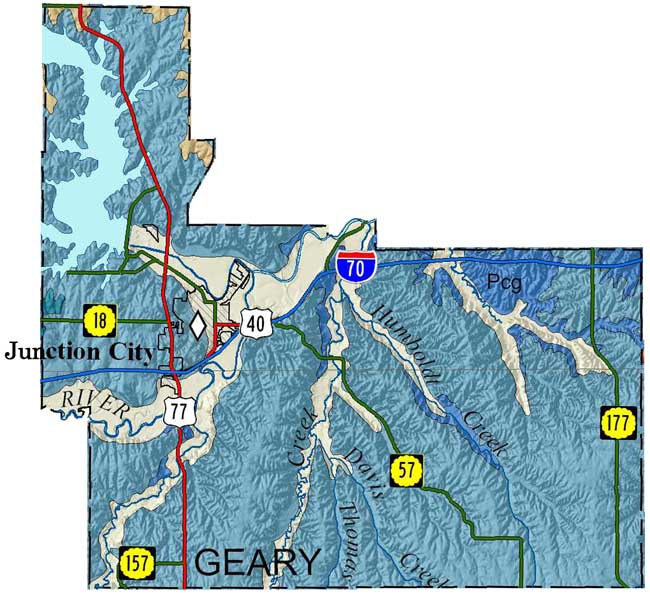
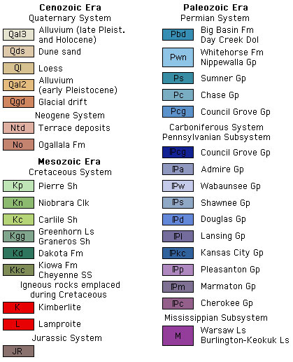
Sawin, R.S., and West, R.R., 2010, Surficial geology of Geary County, Kansas: Kansas Geological Survey, Map M-122, scale 1:50,000, 56 by 40 inches
Copies of the Geary County map can be purchased from the Kansas Geological Survey at 1930 Constant Ave., Lawrence, KS 66047-3724 (phone 785-864-3965, email pubsales@kgs.ku.edu) and at 4150 W. Monroe St., Wichita, KS, 67209-2640 (phone 316-943-2343, email wwsl@kgs.ku.edu).
Sawin, R.S., and West, R.R., 2010, Data Control Points Used to Construct the Surficial Geology Map (M-122) of Geary County, Kansas: Kansas Geological Survey, Open-file Report 2010-13, 218 p. [available online]
J.M. Jewett, 1941, The geology of Riley and Geary counties, Kansas: Kansas Geological Survey, Bulletin, no. 39, 164 pages [available online]
Cartographic Services, Kansas Geological Survey
Comments to webadmin@kgs.ku.edu
URL: