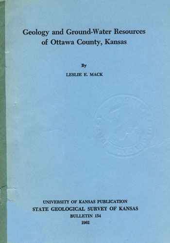
Geology and Ground-water Resources of Ottawa County, Kansas
By Leslie E. Mack

Originally published in 1962 as Kansas Geological Survey Bulletin 154. This is, in general, the original text as published. The information has not been updated.
You may also wish to visit our web site on the Ottawa County geologic map.
Abstract
Ottawa County includes approximately 723 square miles in north-central Kansas and is geologically within the Salina Basin. The exposed rocks are sedimentary, strike generally north-northeastward, dip westward less than a degree, and range in age from Permian to Recent. Most of the county is underlain by the Dakota Formation of Cretaceous age.
The Dakota Formation and the Pleistocene terrace deposits are the major aquifers. The Dakota Formation is composed of lenticular beds of clay, silt, and sandstone having a wide range in permeability, hence the aquifers may be either artesian or water table. The Dakota is connected hydraulically with the graded terrace deposits. Changes in river level cause changes in altitudes of piezometric surfaces in adjoining aquifers. Cross sections of the Solomon River valley and a map of the piezometric surface were made from records of more than 300 wells and test holes. Two aquifer tests in Illinoisan terrace deposits indicate transmissibilities of 50,000 and 60,000 gpd (gallons per day) per foot. Another aquifer test in a sandstone of the Dakota Formation near a lake indicates a transmissibility of 15,000 gpd per foot.
About 90 percent of the precipitation returns to the atmosphere by evaporation and transpiration. Almost all the rest leaves the county as runoff, part of which is supplied by ground water. About 4 percent of the natural recharge is pumped from wells. Characteristics of discharge in Solomon and Saline Rivers are shown by graphs of annual flow and by curves of daily-flow duration, low-flow frequency, base recession, and momentary peak discharge.
Analyses of 101 samples of ground water show that its chemical character differs throughout the county. Variations in concentrations of calcium, magnesium, bicarbonate, and sulfate are contoured on outline maps. Mineralization of ground water generally is attributed to solution of minerals in the Dakota Formation. The concentration of dissolved solids in Solomon and Saline Rivers decreases with increased flow because of dilution by surface water.
The Kansas Water Appropriation Act of 1945 and amendments of 1957 provide an adequate framework for resolving conflicts in equity by law with physical principles of water behavior.
Kansas Geological Survey, Geology
Placed on web March 23, 2009; originally published January, 1962.
Comments to webadmin@kgs.ku.edu
The URL for this page is http://www.kgs.ku.edu/General/Geology/Ottawa/index.html