|
|
|
|
Kansas Geological Survey, Open-file Report 2001-14
2000 Digital Petroleum Atlas Annual Report
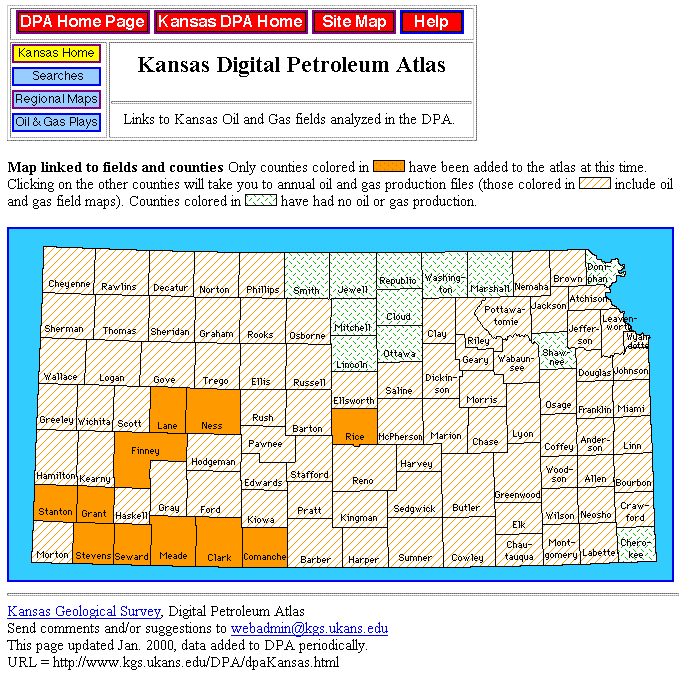
Figure 1. Interactive map of Kansas Digital Petroleum Atlas (DPA) showing counties containing fields and plays that have been added to the DPA. Regional maps on key horizons are available for all highlighted counties. Counties not added to the DPA have oil and gas field maps and links to annual field production. During year four, county-scale maps were added covering Seward, Clark and Comanche counties.
| Table of Contents | Previous Page | Usage of Prototype DPA | Next Page | Figure 2 |